 en
en al
al srb
srbThe Ibar River
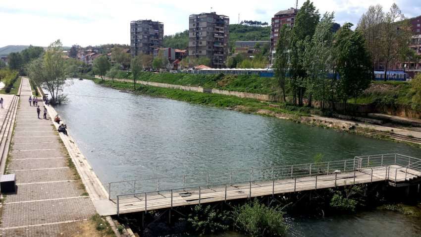
The Ibar River flows into the Albanian Alps, flows through the present-day territory of Montenegro, then through Serbia and near the Banja settlement enters the territory of Kosovo flows southeast and returns to Mitrovica flowing north through Zvecan, then Leposavic, Leshak and the foot of the Kopaonik Mountains near Rudnica emerge from the territory of Kosovo in Serbia, where on the left joins the River Rashka in the settlement of the same name, then joins western Morava and flows into the Danube and with it into the Danube. Black Sea. From its source to its outflow in western Morava it has a length of 276km, on the territory of Kosovo 82km.
The riverbed is a fast-flowing mountain stream and deep bed. Expansive valleys and parts of the fast-rising mountain river and deep bed. From the source to Mitrovica the average slope of the Ibar bed is 6.7 m / km and water velocity 3.5 m / s. In the upper part the river valley is 205 m wide, at Rozaja 10 m, at Ribariq 8-15, and at Mitrovica 20-25 m. Ibri has a mixed feeding regime, namely combined with rains, melting snow and springs.
It is characterized by maximum flow in March - April and minimum in August and September. While the maximum flow is related to snowmelt in early spring, the lower one is due not only to lack of rainfall but also to intensive evaporation and absorption of water in the limestone areas.
Comments (0)
Login to comment