Kaçanik

Area: 306 km2
Population: 33,454
Postal code: 71000
The municipality of Kacanik lies around the geographical coordinate: 42 ° 14 48 V and 21 ° 15 19 L. Kaçanik is distinguished by the fact that it crosses two rivers, Lepenci and Nerodimja, which join at the end of the town. In addition to the 2 rivers, there are also 2 climate zones. Climatologists have found before the Second World War that warm Mediterranean and cold continental climates meet southeast of Kacanik.
Kacanik is a small town in the south of Kosovo and covers an area of ??306 sq km (2.8% of Kosovo's total area). Of the total area of ??the municipality, 65.6% is uncultivated land, while 34.4% is arable land.
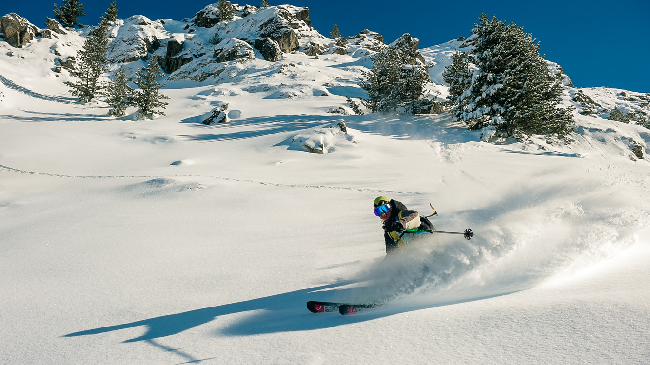
The current economy of Kacanik is a transition economy. The municipality has come out of the war with much of its economy destroyed; municipal infrastructure is in poor condition. Kaçanik economy is based on production of construction materials such as: cement, special adhesives, concrete etc. Potential opportunities exist in the development of agriculture - livestock, beekeeping, orchards, various crafts, as well as winter and summer tourism.
Kacanik has a tradition of private industrial activity and is known for its good wood processors, skilled craftsmen, craftsmen, limestone quarries, wood products for the construction industry and woodworking craftsmen, tailors, processors, etc.
A key factor that has contributed to the development of Kacanik / Kacanik is its key network of road and rail traffic. The Pristina-Skopje main road passes through the municipality, as does the Fushë Kosovë-Thessaloniki railway. The municipality is also the main border crossing point between Kosovo and other countries in the region.
 en
en al
al srb
srb